- Our Services
Professional Aerial Services Built Around Your Operation
From security and surveillance to inspection, survey and monitoring, we deliver accurate aerial intelligence across every environment we serve.
Security & Surveillance
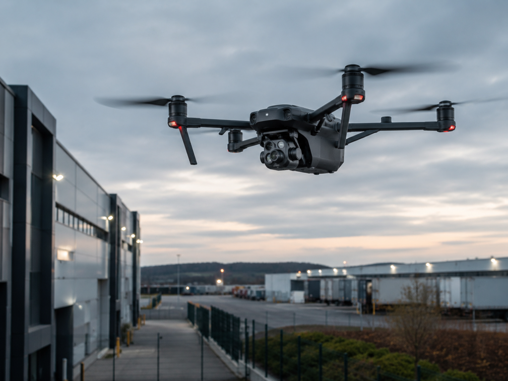
Enhance situational awareness and strengthen security operations with real-time aerial intelligence. we enable security teams to detect threats faster, monitor activities more effectively, respond to incidents with greater precision, and maintain continuous visibility across large or difficult-to-access environments.
Applications
- Estate & Residential Security
- Industrial & Commercial Facilities
- Mining Operations
- Construction Site Security
- Event Security & Crowd Monitoring
- Perimeter Patrols & Incident Response
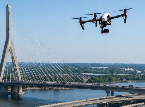
Structural & Asset Inspection
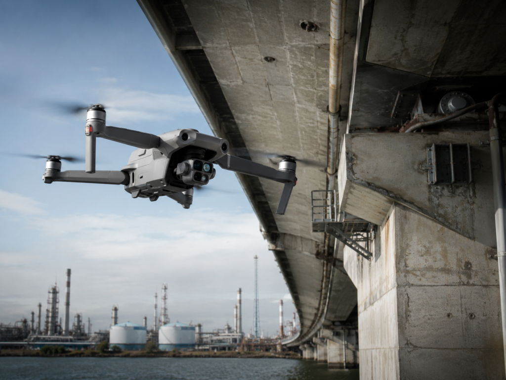
Enhance situational awareness and strengthen security operations with real-time aerial intelligence. we enable security teams to detect threats faster, monitor activities more effectively, respond to incidents with greater precision, and maintain continuous visibility across large or difficult-to-access environments.
Application
- Buildings & Roof Inspections
- Industrial Facilities
- Communication Towers
- Power Infrastructure
- Solar Installations
- Bridges & Civil Structures
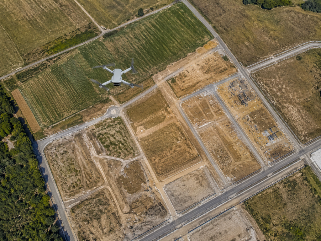
Survey & Mapping
Capture accurate aerial data and geospatial information to support planning, analysis, and project execution across various industries.
Application
- Mining & Quarry Operations
- Construction Planning
- Land Development Projects
- Infrastructure Projects
- Environmental Monitoring
- Site Analysis & Planning
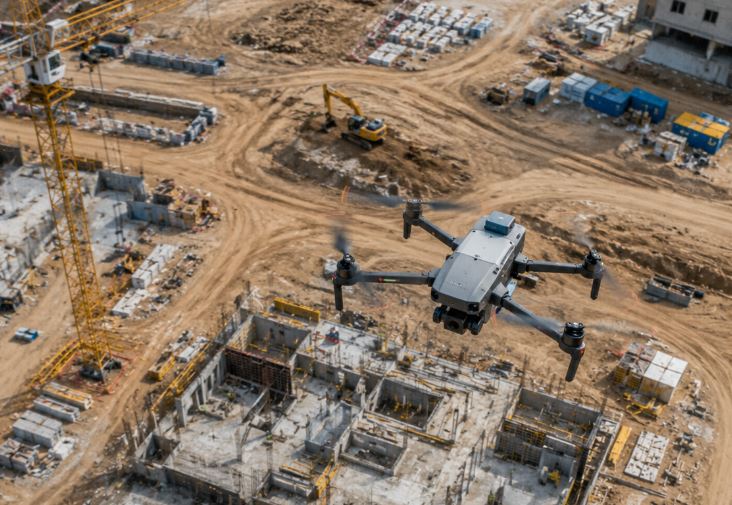
Construction monitoring
Improve project oversight through regular aerial monitoring and progress reporting. Regular aerial updates help track progress, identify potential issues early, and ensure projects remain aligned with objectives and timelines.
Application
- Project Progress Tracking
- Site Documentation
- Stakeholder Reporting
- Contractor Coordination
- Quality Control Monitoring
- Project Marketing & Updates
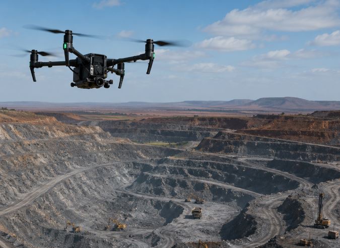
Mining Support Services
Provide mining operations with accurate aerial intelligence that supports operational efficiency, planning, and decision-making
Applications
- Stockpile Monitoring
- Site Inspections
- Progress Tracking
- Infrastructure Monitoring
- Operational Oversight
- Aerial Site Documentation
Infrastructure Monitoring
Protect and maintain critical infrastructure through routine aerial inspections and monitoring. Drone technology allows organizations to assess infrastructure assets quickly, safely, and cost-effectively while identifying potential issues before they escalate into costly failures.
Applications
- Power Infrastructure
- Roads & Transport Networks
- Pipelines
- Water Infrastructure
- Industrial Assets
- Public Infrastructure
- Let's Work Together